
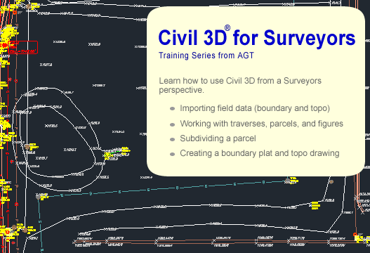
Civil 3D® for Surveyors
This video lesson series takes a look at Civil 3D from a Surveyors perspective. The instructor begins with importing field data and takes you through the steps to create and adjust a traverse, creating a boundary, subdividing the parcel, and importing TOPO. At the conclusion, you will see how to create sheets for both the boundary plat and TOPO map for the project. Along the way, comparisons will be made to Land Desktop to help those migrating from that program over to Civil 3D. The lessons are taught by a practicing civil engineer with extensive experience using both programs in real-world projects.
On Sale for only $249
Click here to order
Lesson Contents
- Introduction and Overview
- Field Data
- Template drawings
- Settings
- Prospector, Settings, and Survey tabs
- Ribbon
- Preparation
- Creating a new survey database
- Importing field data
- Creating a traverse
- Adjusting the traverse
- Editing the survey network
- More on the "survey network" object
- Points and Figures
- Preparation (styles)
- Description keys
- Point Groups
- Figures
- Importing field data
- Reviewing the resulting point groups and figures
- Boundary and Parcels
- Preparation (styles)
- Creating the parcel
- Subdividing the parcel
- Parcel tables
- Mapcheck
- Labeling
- Preparation (styles)
- Creating the surface
- Editing the surface
- Labeling
- Plat and TOPO Sheets
- Layer states
- Title block
- Viewport's
- Adding notes
- Summary and Review